MOuvements de VErsants au NUNAVIK : aléas et risques – MOVE5-NUNAVIK
Slope movements in Nunavik: hazards and risks - MOVE5-NUNAVIK
2022
OHM Project
Nunavik OHMi
Leader : Decaulne Armelle
Project leader’s laboratory : LETG
Full address of laboratory : Chemin de la Censive du Tertre, 44000 Nantes
Coauthor(s) : Najat Bhiry
Keywords :
Avalanches
mouvements de masse
dynamiques
risques
Disciplines :
Geographie
Geomorphologie
Paleoenvironnement
Abstract :
L’étude des dynamiques de pente est requise dans différentes communautés du Nunavik et le parc national Tursujuq ; avalanches, chutes de blocs et glissements de terrain témoignent d’un « paysage en changement », traduisant les mutations en cours aux implications physiques (conditions de déclenchement de l’aléa) et sociales (implication en termes de risques naturels). Les observations et mesures des modelés géomorphologiques renseignent la fois sur les échelles temporelles et spatiales des dynamiques de pente, indispensables dans le contexte actuel du Nunavik, qui, d’une part, connaît une croissance démographique forte et, d’autre part, ouvre son territoire aux touristes. Comme corollaire, les risques liés aux aléas gravitaires s’accroissent.
Le projet MOVE5-NUNAVIK s’inscrit dans l’axe 4 des recherches de l’OHMi NUNAVIK. Il poursuit l’effort entrepris depuis 2015 améliorant la connaissance des géodynamiques de pente et leur activité dans un contexte de réchauffement climatique toujours plus prégnant. Son objectif est la caractérisation de l’aléa et des situations de vulnérabilité, afin de définir et quantifier le risque que représentent les aléas gravitaires.
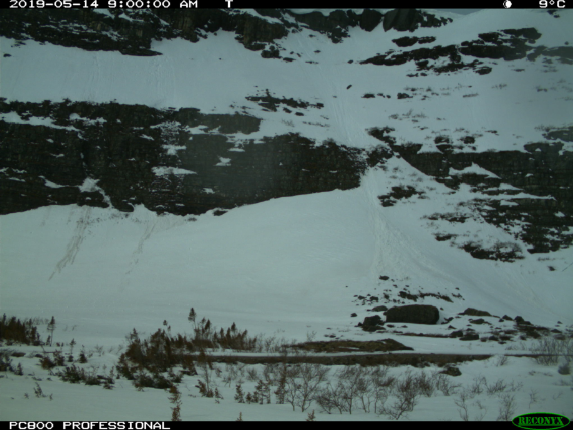
Pour atteindre ces objectifs, nous privilégions une méthodologie fondée à la fois sur des travaux de terrain en géomorphologie et stratigraphie, et sur des analyses en laboratoire (datations, sédimentologie, dendrochronologie, paléoécologie), et à partir d’images satellites et de photos prises par des caméras automatiques ; des entrevues avec les responsables locaux sont aussi envisagées pour compéter nos observations de terrain, de façon formelle ou informelle. Nous favorisons la formation en M1 et M2 en encadrant les stages.
Translated abstract :
The study of slope dynamics is required in various communities of Nunavik and Tursujuq National Park; avalanches, boulder falls and landslides bear witness to a "changing landscape", reflecting the changes underway with physical (conditions for triggering the hazard) and social (implication in terms of natural risks) implications. The observations and measurements of geomorphological models provide information on both the temporal and spatial scales of slope dynamics, essential in the current context of Nunavik, which, on the one hand, is experiencing strong demographic growth and, on the other hand, is opening up its territory to tourists. As a corollary, the risks associated with gravity hazards increase.
The MOVE5-NUNAVIK project is part of axis 4 of OHMi NUNAVIK research. It continues the effort undertaken since 2015 to improve knowledge of slope geodynamics and their activity in a context of ever more significant global warming. Its objective is to characterize the hazard and situations of vulnerability, in order to define and quantify the risk represented by gravity hazards.
To achieve these objectives, we favor a methodology based both on fieldwork in geomorphology and stratigraphy, and on laboratory analyzes (dating, sedimentology, dendrochronology, paleoecology), and from satellite images and photos taken. by automatic cameras; Interviews with local officials are also planned to supplement our field observations, formally or informally. We promote training in M1 and M2 by supervising internships.