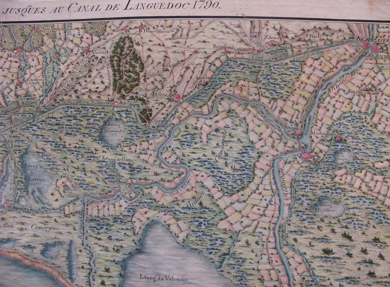
Original title (in French): Carte de la navigation par les étangs et canaux depuis le Rhône jusqu'au canal de Languedoc. English title: Navigation map through the ponds and canals from the Rhône river to the Languedoc canal.
Auteur : NA
Lat : 43.621444, Lon : 4.489014
Pour plus d'informations vous pouvez consulter la page de l'image sur photo.driihm.fr -> Lien