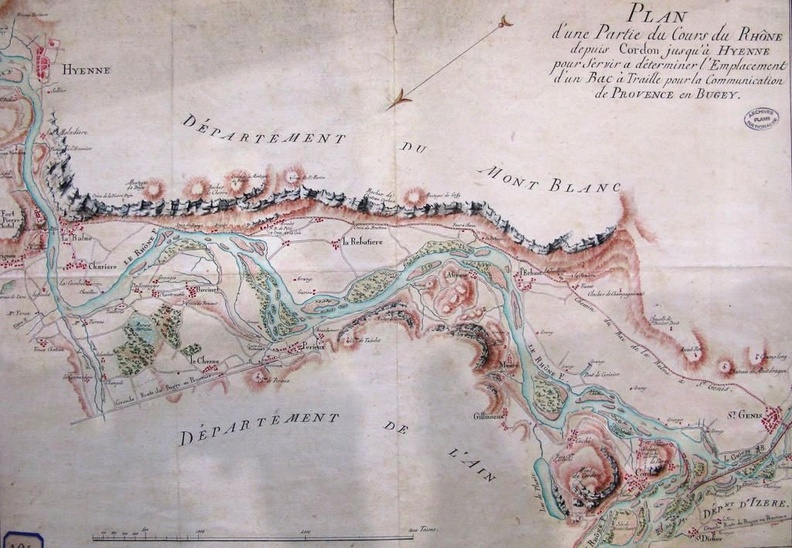
Original title (in French): Plan d'une partie du cours du Rhône depuis Cordon jusqu'à Hyenne pour servir à déterminer l'emplacement d'un bac à traille pour la communication de Provence en Bugey. English title: Map of part of the Rhône river from Cordon to Hyenne to be used to determine the location of a cable ferry for communication between Provence and Bugey.
Auteur : NA
Lat : 45.644963, Lon : 5.688554
Pour plus d'informations vous pouvez consulter la page de l'image sur photo.driihm.fr -> Lien