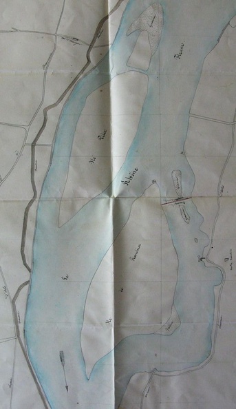
Original title (in French): Plan du cours du Rhône aux abords du Mas de Ranchier pour être joint aux profils et métré du barrage. English title: Map of the Rhône river near the Mas de Ranchier, to be attached to the profiles and metering of the dam.
Auteur : Ponts & Chaussées
Lat : 43.747740, Lon : 4.620271
Pour plus d'informations vous pouvez consulter la page de l'image sur photo.driihm.fr -> Lien