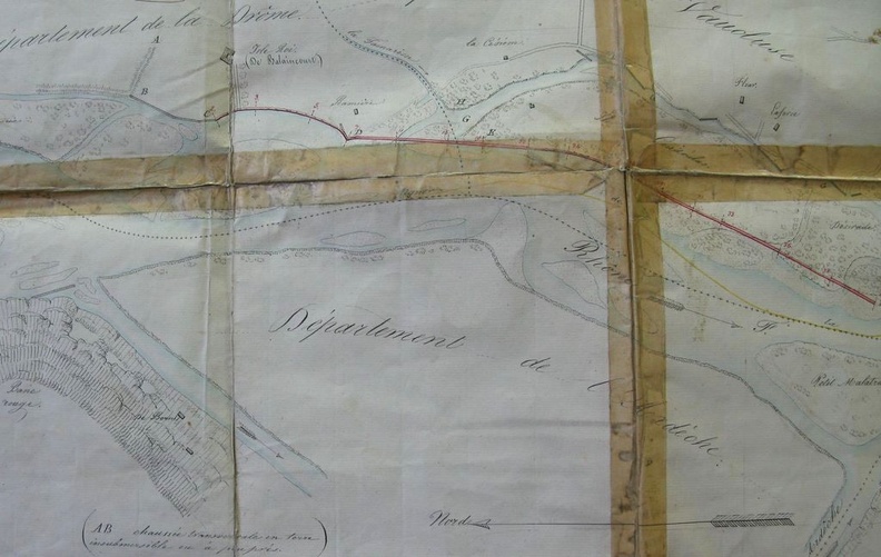
Original title (in French): Plan d'une partie du cours du Rhône relatif à l'établissement d'une digue de défense, avec chemin de halage, en amont du Pont-St-Esprit. English title: Plan of part of the Rhône river related to the establishment of a defensive dyke, with a towpath, upstream of Pont-St-Esprit.
Auteur : Bouvier
Lat : 44.293051, Lon : 4.655713
Pour plus d'informations vous pouvez consulter la page de l'image sur photo.driihm.fr -> Lien