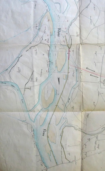
Original title (in French): Plan du cours du Rhône entre les rochers du banc rouge et le Pont-St-Esprit. English title: Map of the Rhône river between the Banc Rouge rocks and Pont-St-Esprit.
Auteur : Bouvier
Lat : 44.278678, Lon : 4.651023
Pour plus d'informations vous pouvez consulter la page de l'image sur photo.driihm.fr -> Lien