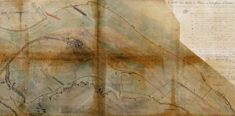
Original title (in French): Carte des abords du Rhône et de la plaine de Lussan depuis la chaussée de ce nom jusqu'à l'écluse de prise d'eau du canal de Beaucaire. English title: Map of the Rhône river banks and the Lussan plain from the Lussan roadway to the lock of the Beaucaire canal water intake.
Auteur : Courrotz & Grangent
Lat : 43.817058, Lon : 4.648662
Pour plus d'informations vous pouvez consulter la page de l'image sur photo.driihm.fr -> Lien