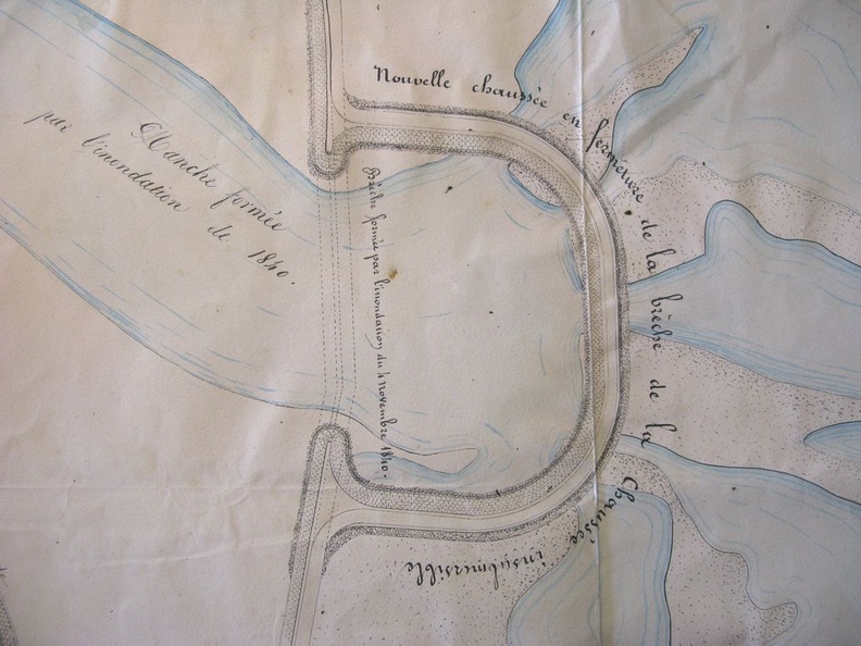
Original title (in French): Plan de la rive gauche du Rhône aux abords des brêches faites au chemin de halage et à la chaussée insubmersible de Boulbon par l'inondation du 4 novembre 1840. English title: Map of the left bank of the Rhône river near the breaches made to the towpath and the Boulbon unsubmersible roadway by the flood of 4 November 1840.
Auteur : Ponts & Chaussées
Lat : 43.880265, Lon : 4.673438
Pour plus d'informations vous pouvez consulter la page de l'image sur photo.driihm.fr -> Lien