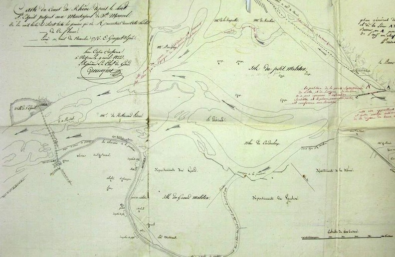
Original title (in French): Carte du cours du Rhône depuis le Pont-St-Esprit jusqu'aux Montagnes de St Marcel. English title: Map of the Rhône river from Pont-St-Esprit to the Mountains of St Marcel.
Auteur : Grangent
Lat : 44.277560, Lon : 4.651251
Pour plus d'informations vous pouvez consulter la page de l'image sur photo.driihm.fr -> Lien